TECH Signal 478
Online tool simulates 3D shadows for any location and time without local software
 ↗
↗
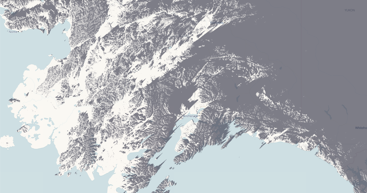
ShadeMap provides browser-based 3D shadow simulation for buildings, terrain, and vegetation at any global location and time.
Engineers and architects can now perform shadow and solar exposure analysis without installing or purchasing specialized software. This reduces setup time and cost for site planning, solar feasibility studies, and outdoor design projects. However, reliance on an online tool may limit use in offline or high-security environments.
Written by elseif from the cluster below · every claim links back to a sourceThe three things worth knowing
Simulates shadows cast by buildings, trees, and terrain in 3D for any time and place on Earth.
Replaces the need for Google Earth Pro or other local shadow analysis tools with a browser-based solution.
Supports shadow accumulation maps, sun path visualization, and solar exposure studies for planning and photography
THE READ
What the cluster adds up to.
ShadeMap introduces a browser-based alternative to traditional shadow and solar analysis tools, which typically require local installation or paid licenses. The tool allows users to simulate shadows cast by structures, vegetation, and terrain in 3D for any location and time. This functionality is particularly useful for architects, urban planners, and solar energy consultants who need to assess sunlight exposure for design or feasibility studies. By eliminating the need for software like Google Earth Pro, it lowers the barrier to entry for professionals who may not have access to or budget for such tools.
The tool’s online nature means it can be accessed from any device with a browser, reducing setup time and hardware requirements. Users can generate shadow accumulation maps, visualize sun paths, and analyze solar exposure without downloading or configuring software. However, this convenience comes with trade-offs. Performance may depend on internet speed and server load, and offline use is not possible. Additionally, sensitive projects may face security or compliance concerns when using a third-party online service for site analysis.
ShadeMap’s features appear tailored for practical applications, such as preparing shadow studies for construction projects or optimizing solar panel placement. The ability to simulate shadows for specific times of day or year could also aid photographers planning sunrise or sunset shots. While the tool’s scope is limited to shadow and solar analysis, its focus on accessibility and ease of use may make it a preferred option for quick, low-stakes assessments. For complex or large-scale projects, however, professionals may still rely on more robust local software for finer control and data security.
Written by elseif from the cluster below · checked for specifics the sources never containedTHE CLUSTER