TECH Signal 473
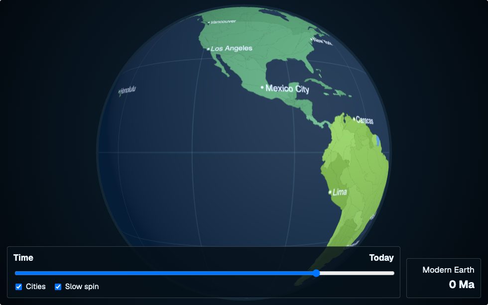
Show HN: Today's cities on a globe of Earth's tectonic past and future
 ↗
↗
A Show HN project visualizes modern cities on a globe that is rewound and extrapolated according to a tectonic plate model.
Engineers can overlay current geospatial datasets onto reconstructed plate positions, enabling analysis of how locations shift over geological time. The implementation relies on pyGPlates and a static plate polygon set, so integration requires those libraries and data formats. The future view is a simplified motion sketch, so it should not be used for precise forecasting.
Written by elseif from the cluster below · every claim links back to a sourceThe three things worth knowing
Country borders are divided by static plate polygons from the Merdith 2021 model before being rotated with pyGPlates.
Backward reconstruction uses finite rotations, while forward projection applies a constant-motion extrapolation with coarse collision handling.
Red-highlighted regions indicate plate fragments that still overlap after reconstruction, signaling model limits.
THE READ
What the cluster adds up to.
The project introduces a pipeline that first slices modern political boundaries using a fixed plate geometry, then applies pyGPlates finite rotations to move each slice back in time. This approach lets developers treat cities as fixed markers on moving crust, which is useful for visualizing long-term geographic change. The reliance on the Merdith 2021 plate model means the underlying plate shapes are static and must be imported into the workflow. Engineers will need to manage the polygon splitting step, which can be computationally heavy for high-resolution datasets. The result is a time-traveling map that shows where today's cities would have been on ancient plates. For the forward direction, the tool does not attempt a full predictive simulation; instead it extends current plate motions at a constant rate and inserts a few simplified collision handoffs. This makes the future view quick to compute but introduces significant uncertainty, especially near plate boundaries. Developers should treat this side as an interactive sketch rather than a scientific forecast. The coarse handling means that any downstream analysis that depends on precise future plate positions would be unreliab
Written by elseif from the cluster below · checked for specifics the sources never containedTHE CLUSTER