TECH Signal 485
World Train Map – 1247 train routes around the world
 ↗
↗
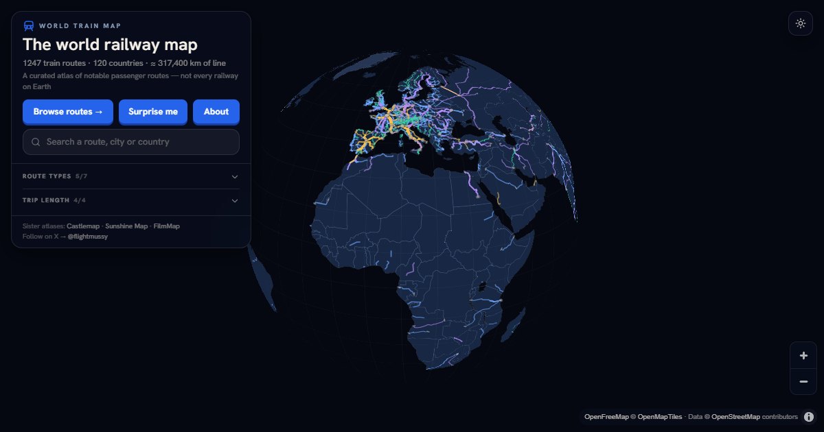
A hobby-project interactive atlas mapping 1,247 notable passenger train routes across 120 countries rebranded from TrainRouter to World Train Map and overhauled its route geometry by switching from corridor-based inference to OpenStreetMap route relations, dramatically improving positional accuracy.
The project offers an open dataset of global rail routes as CSV, JSON, and GeoJSON under CC BY 4.0, providing ready-made geospatial data for mapping, logistics, or transit applications. The methodology shift from inference to relation-based drawing, and the explicit documentation of where that method fails, offers a practical case study in automated geospatial correction at scale.
Written by elseif from the cluster below · every claim links back to a sourceThe three things worth knowing
Route geometries were redrawn using OpenStreetMap route relations instead of corridor inference, moving the median offset from hundreds of metres to roughly four metres for 1,093 lines.
Twenty-two routes were deliberately left unchanged because their candidate relations would shift them over a kilometre, indicating a likely mismatch rather than a refinement.
The site rebranded from TrainRouter to World Train Map with permanent redirects preserving all old URLs and paths, acknowledging that the original name set incorrect expectations about functionality.
THE CLUSTER